Scan the World.
Together.
Pointly is a decentralized network of people, sensors, and software scanning highways in real time.
Highway Coverage
Explore our growing network of LiDAR-mapped highways across the world
Map Layers
Time Period
1024
KM Mapped
1
Countries
9
Active Contributors
Live
Network Status
Drive. Map. Earn.
Turn Every Drive
into Dollars
You'll earn dollars and help build better Highways while you drive - with no extra work.
Become a Contributor
Join our network and earn rewards for mapping highways with precision LiDAR technology. Anyone can contribute, from individual drivers to fleet operators.
For Individual Drivers
- ✓ Earn rewards for every kilometer you map
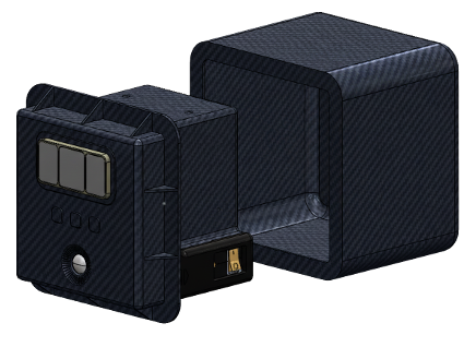
- ✓ Easy installation on your personal vehicle
- ✓ Map during your regular commute
- ✓ Track your earnings in real-time
- ✓ Contribute to improving highway safety
For Fleet Operators
- ✓ Scale rewards across your entire fleet
- ✓ Professional installation and support
- ✓ Fleet management dashboard
- ✓ Bulk device pricing available
- ✓ Turn your vehicles into data assets
Infrastructure Intelligence
Pointly fuses sensor technology with advanced AI to deliver Infrastructure intelligence at scale for Government, Infrastructure Operators, and Developers.
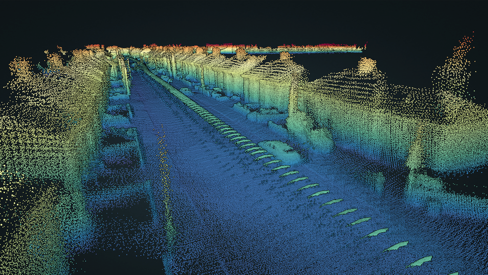
3D Highway Maps
Access 3D visualizations of highway infrastructure with sub-cm precision
AI-Powered Analysis
Automated Highways defect detection and classification using advanced AI
Real-Time Data
Get the freshest data, updated continuously by our contributor network
API Access
Integrate highway intelligence into your applications with our developer API
Secure & Private
Decentralized architecture ensures data integrity and contributor privacy
Predictive Insights
Forecast infrastructure degradation and optimize maintenance scheduling
Ready to access precision highway intelligence for your organization?
Contact SalesMeet the Infrastructure Intelligence Pioneers
Get in Touch
Ready to start mapping or have questions about our LiDAR devices? Fill out the form below and our team will get back to you within 24 hours.
Who Benefits?
- • Individual Drivers: Earn rewards during your regular commute
- • Fleet Operators: Turn your vehicles into data-generating assets
- • Highways Teams: Access precision data for maintenance planning